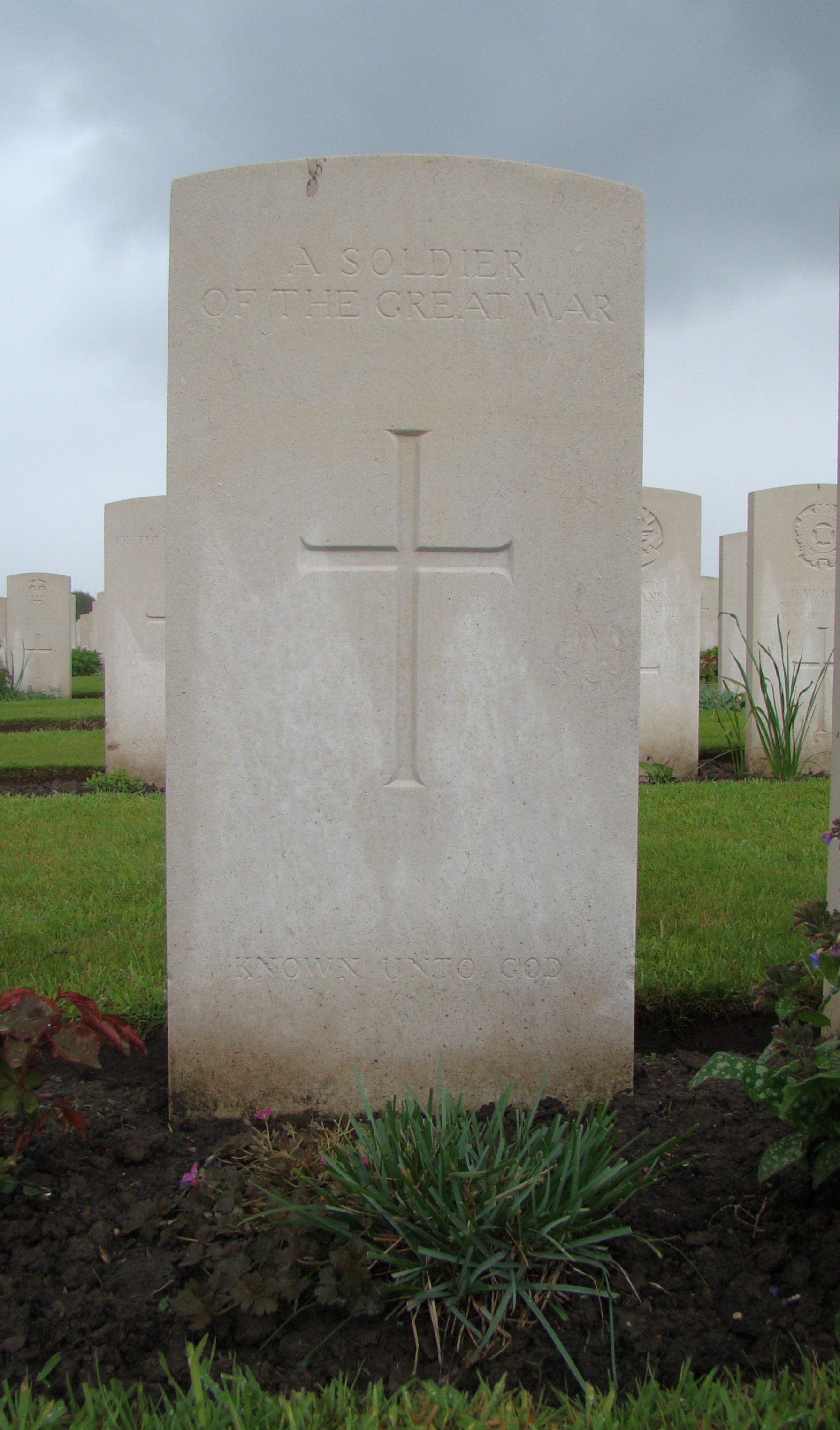
Found at Map Reference 28.C.17.c.6.9. or 50.8848, 2.9261. This is southern west of Sint Juliaan. One can assume he died during the fighting of September 1917. His means of identification were: Buttons and numerals. ***Although CWGC records record this man as South African, his grave is marked wholly unknown by CWGC |