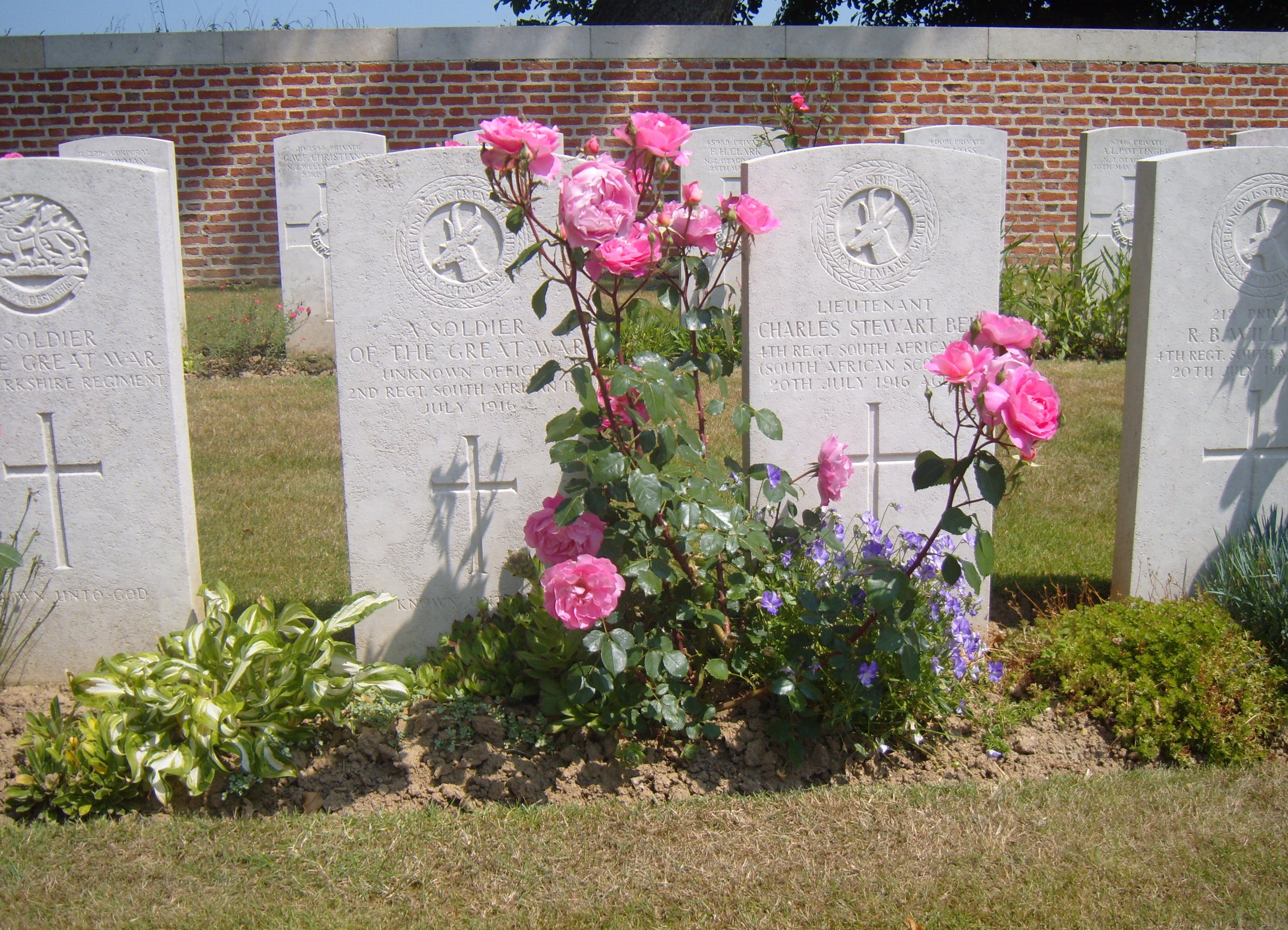
Found at Map Reference 57c.s.18.a.50.35 or GPS 50.0257, 2.8106. This is the South Western edge of Delville Wood. One can assume he died during the fighting of July 1916. His means of identification were: Officer's uniform, buttons, collar badges, G.S. botts. He was 5 ' 8" and wore a size 8 boot. There are 6 possibilities that this man can be, further research in archives may identify him |
