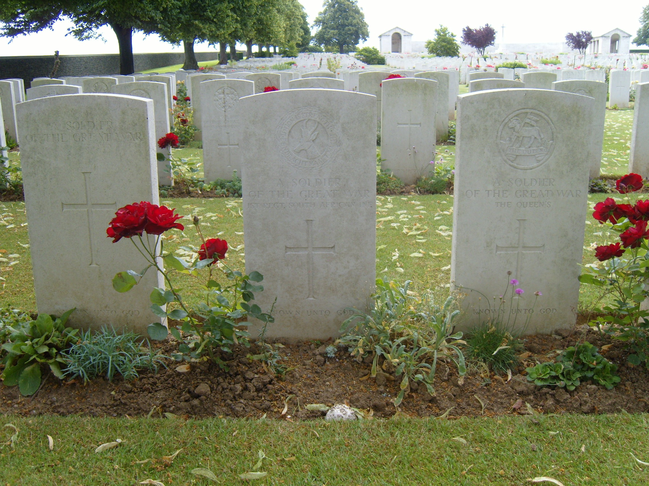
Found at Map Reference 62c.b.18.b.9.3 or GPS 49.9867, 2.8976. This is North of Marrieres Wood. One can assume he died during the fighting of March 1918. His means of identification were: G.S. Uniform, collar badge, titles and 2 pieces of mess tine (1) N.M. (2) "-7-2" |
