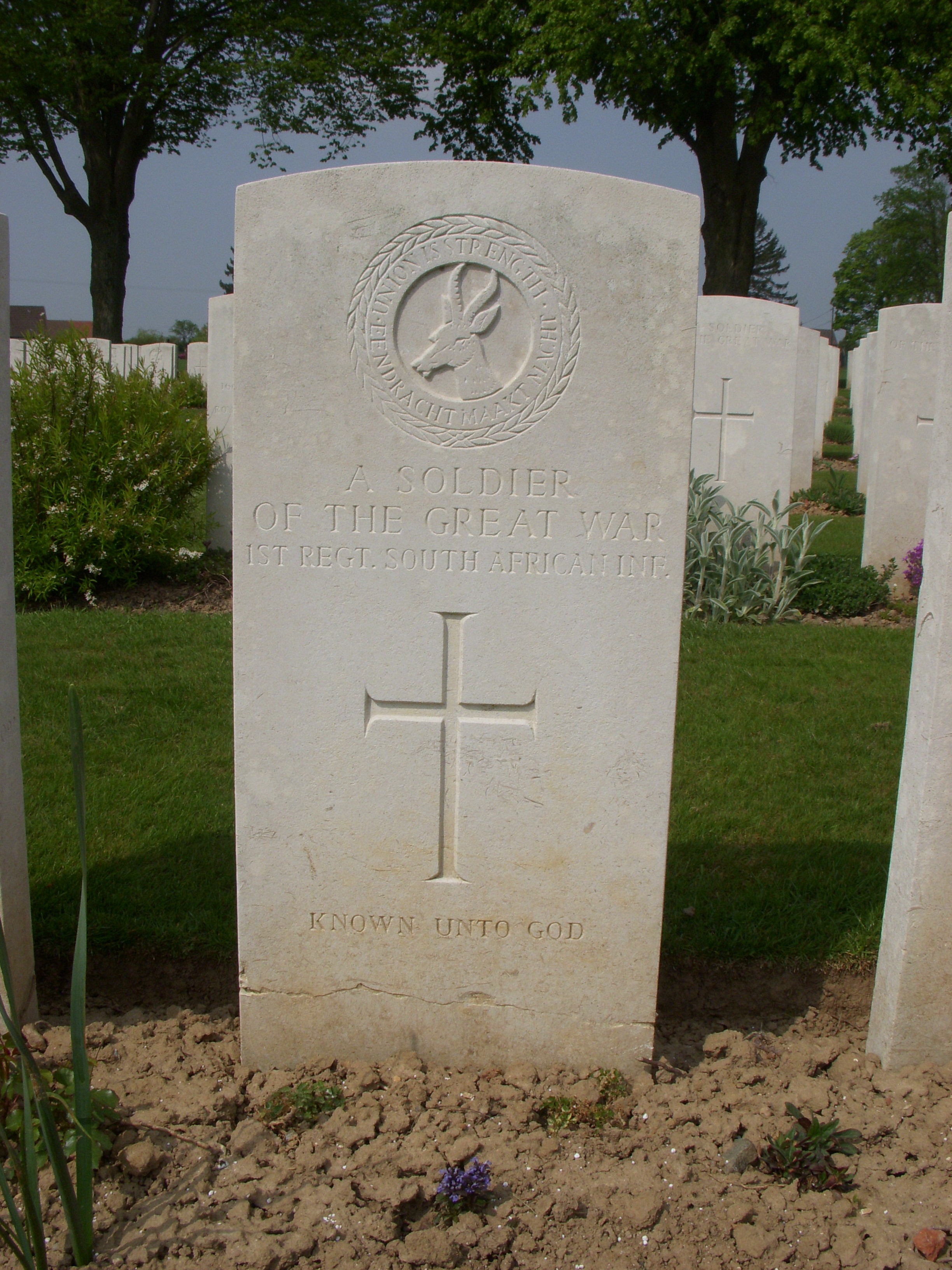
Found at Map Reference 57c.s.18.b or GPS 50.0264, 2.8169. This is South Eastern edge of Delville Wood. One can assume he died during the fighting of July 1916. His means of identification were: Cross on grave K.U.3. Originally identified as a Private with the 11th Borderers, the final Graves Registration file indicates a soldier of the 1st SAI. His effects SN/10006 may hold some clue as to why CWGC changed their mind |
