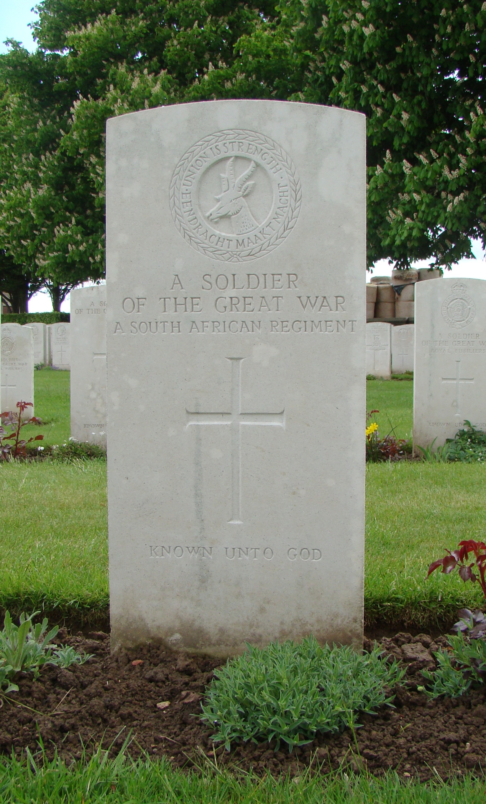
Found at Map Reference 57c.M.17.d.1.4. or GPS 50.0712, 2.8005. This is East of present day village of Le Sars. One can assume he died in the fighting of October 1916. His means of identification were: Clothing, buttons, boots and name on groundsheet (***Name was F M Davis) |
